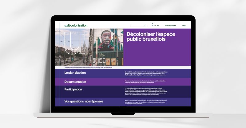
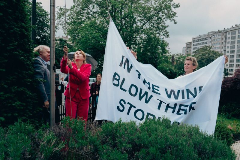
On 21 March this year, the International Day for the Elimination of Racial Discrimination, Urban launched its new web pages about the decolonisation of public space in the Brussels Capital Region.
Urban is piloting the action plan “Towards the decolonisation of public space in the Brussels Capital Region”, which was approved by the government in May 2023.
Since 2024, and throughout 2025, the aim is to team up with a series of partner institutions and administrations to carry out 14 actions, including documentation, awareness-raising and participation. Urban is involved across the board. A support committee meets regularly to ensure that the plan is implemented, and in spring 2024, a coordinator was appointed to monitor the implementation of the plan on a day-to-day basis.
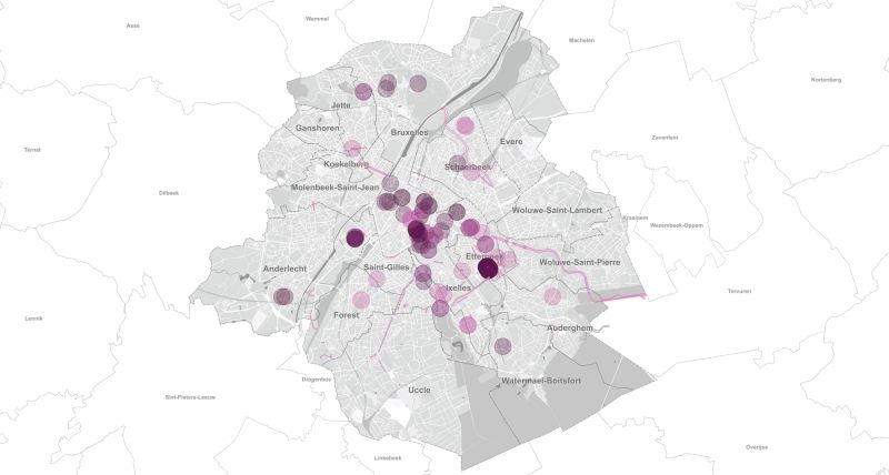
→ Discover this new web section below, but also the new BruGIS cartography, which inventorises the first 100 colonial traces on Brussels territory.
WEB SECTION
The purpose of these new web pages is to share the implementation of the action plan with the public.
The ambition is also to involve the citizens of the Brussels Capital Region in initiatives to raise awareness of decolonial actions in connection with Urban’s missions.
The website is divided into four parts:
- Action plan
→ This section presents the plan and the resulting actions, classified into 4 thematic groups. - Documentation
→ This section brings together numerous resources: reference documents, inventories and mapping of colonial traces. - Participation
→ This section reports on the initiatives organised as part of the plan or inspired by it, and invites you to take part or send us your suggestions. - Questions & Answers
→ This last section offers keys to understanding the notion of decolonising public space.
BRUGIS CARTOGRAPHY
Discover the first 100 colonial traces inventorised by BruGIS.
Public spaces in Brussels contain many traces of the colonial past: monuments, statues, buildings, place names, works of art, parks, etc. As part of the action plan “Towards the decolonisation of public space in the Brussels Capital Region”, these traces are being inventorised and put into context in the Brussels Capital Region’s cultural heritage inventories.
These traces echo the periods of the Congo Free State (1885-1908), Belgian Congo (1908-1960) and Ruanda-Urundi (1919-1962), as well as the history of the Burundian, Congolese and Rwandan presence in Brussels. Traces revealing recent decolonial initiatives are also inventorised.
This map is an integrated and evolving knowledge tool, which is essential for implementing a decolonial and inclusive approach to public space, across all of Urban’s missions. It is meant for everyone who is involved in spatial planning.


