In this section, you will find all of the reference documents for implementing the action plan. These appear in chronological order. This way, one can see how much time was needed for the stages of reflection and practical implementation of the decolonisation of public space in the Brussels Capital Region.

The resolution of the Brussels Parliament dating from 2020
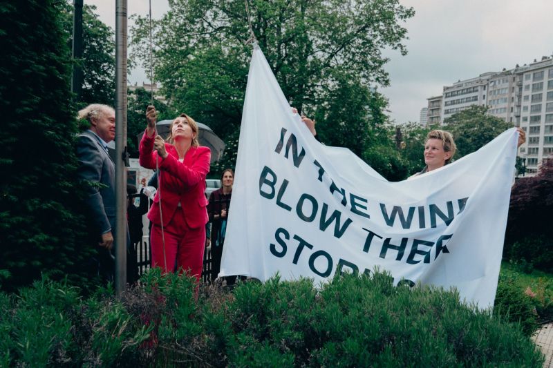
The resolution of 17 July 2020 on the structural and inclusive decolonisation of the Brussels public space as part of a process of dialogue and remembrance.
In particular, this resolution asks the Government of the Brussels Capital Region to team up with associations to undertake scientific research with the aim of drawing up an inventory of street names, […] monuments […], public buildings bearing the heritage of Belgian colonial history.
To this end, the resolution calls on the government to set up a steering group comprising associations and academics that are representative of the diversity of Brussels.

The framework for reflection and the recommendations
Between November 2020 and February 2022, a working group of 14 experts from the civil society and the academic world, as well as 4 representatives of the Brussels administration, drew up a framework for reflection and recommendations about the decolonisation of public space in the Brussels Capital Region.

Action plan
In May 2023, the Government of the Brussels Capital Region approved an action plan inspired by the report of the 2022 working group, entitled “Towards the decolonisation of public space in the Brussels Capital Region”.
Urban is responsible for steering its implementation in 2024 and 2025, in cooperation with a series of partner institutions and administrations.


A close link with the fight against racism
The action plan “Towards the decolonisation of public space in the Brussels Capital Region” is in itself action 36 of the Brussels anti-racism plan 2023-2026.

Identifying and documenting
As part of action 3 (“Identifying colonial heritage and completing the inventories of Brussels’ cultural heritage”), a major project is underway to identify, scientifically document and map colonial traces in the Brussels Capital Region. The Brussels inventories concerned are those of the movable, immovable and natural heritage.
In the inventory of the immovable heritage, a “colonial traces inventory” filter can be used to identify the streets and buildings associated with Belgian colonisation. In the inventory of the movable heritage, a theme called “On the traces of colonisation” plays the same role.

Mapping
A Brugis map shows the colonial and decolonial traces on the territory of the Brussels Capital Region: monuments and commemorative plaques, buildings, street names, etc. This map is updated each time new items are identified and documented in cultural heritage inventories.
Contact us
Do you have a question or a suggestion? Do you wish to keep us up to date about an event relating to the decolonisation of public space?